Katja Wagner · 18 October 2026
Assessing Subsurface Chemistry Variations Through Digital Repositories in Post-Logging Mountainous Areas
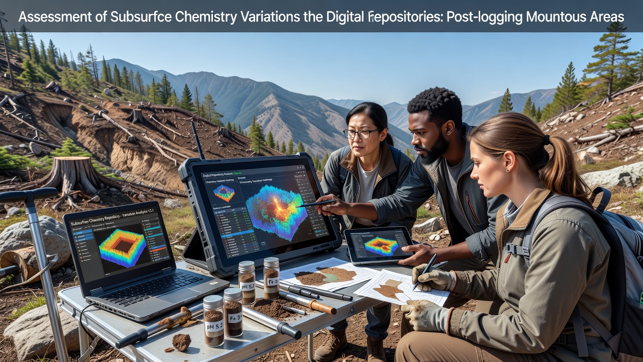
Subsurface chemistry in mountainous regions undergoes measurable shifts after logging operations remove canopy cover and disturb root systems, and digital repositories now serve as primary tools for tracking those changes across multiple sites. Researchers compile soil core samples, sensor readings, and remote sensing outputs into centralized databases that allow comparison of pre- and post-harvest conditions over time. Data from these systems reveal patterns in pH decline, nitrogen mobilization, and carbon redistribution that occur within the first two growing seasons following timber removal.
Data Sources and Repository Structures
National geological surveys maintain layered archives that combine borehole logs with surface topography models, while regional forestry agencies contribute repeated sampling grids from treated watersheds. Observers note that these combined records enable analysts to isolate logging effects from natural variability caused by elevation gradients or seasonal precipitation. In October 2026 several platforms added standardized metadata tags for harvest intensity and equipment type, which improved cross-site queries without requiring new field campaigns.
Users query the repositories through application programming interfaces that return interpolated chemistry maps at 10-meter resolution, and those maps highlight zones where calcium and magnesium concentrations drop by 15 to 30 percent within 18 months of clear-cutting. Studies from the United States Geological Survey demonstrate that such declines correlate strongly with increased surface runoff and reduced cation exchange capacity in upper soil horizons.
Chemistry Parameters Monitored
Key indicators tracked through the repositories include nitrate and ammonium levels, total organic carbon, exchangeable bases, and trace metal mobility. Post-logging data sets show elevated nitrate leaching into subsurface flow paths during spring snowmelt, while organic carbon stocks shift from surface litter layers into mineral horizons through increased bioturbation. Analysts compare these values against control catchments that remain unlogged to quantify the magnitude of disturbance.
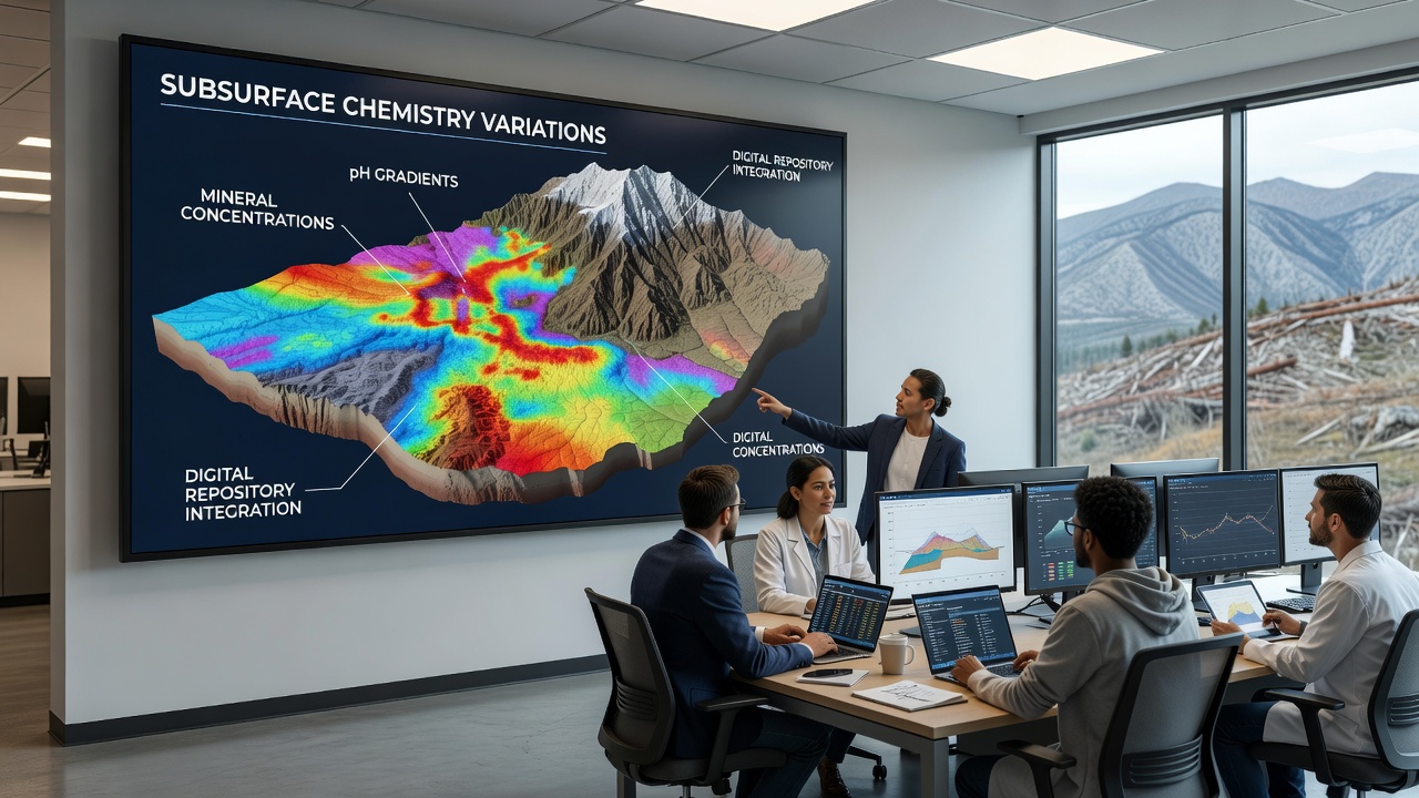
One research team working in the northern Rockies integrated repository outputs with passive capillary lysimeters and found that aluminum concentrations in soil solution rose measurably after harvest, an effect attributed to both acidification and exposure of mineral surfaces. Similar patterns appear in records from Canadian provincial databases, where potassium availability decreased in sites subjected to whole-tree harvesting compared with stem-only removal.
Integration of Remote Sensing and Ground Data
Digital repositories increasingly merge satellite-derived vegetation indices with ground-based chemistry measurements, and this fusion supports spatial modeling of subsurface responses across entire mountain ranges. Algorithms trained on historical logging records predict areas most likely to experience accelerated nutrient loss, allowing land managers to prioritize restoration plantings. Evidence from multiple watersheds indicates that steeper slopes exhibit faster chemistry recovery when residual woody debris is retained on site.
Repository queries also flag anomalies such as unexpected spikes in heavy metals that may result from exposed parent material or equipment spills. Automated alerts notify participating agencies when values exceed established thresholds, prompting targeted verification sampling. Those who maintain the systems continue to refine quality-control protocols to reduce interpolation errors that arise in areas with sparse sensor coverage.
Long-Term Monitoring and Policy Applications
Long-term records stored in these repositories support evaluation of reforestation practices and their influence on subsurface recovery trajectories. Data spanning more than a decade show that sites replanted with mixed conifer species regain baseline pH and cation levels more rapidly than monoculture plantations. Policymakers reference these trends when updating best-management guidelines for timber operations in sensitive headwater basins.
Cross-border collaborations now feed additional data streams into shared platforms, expanding coverage beyond single jurisdictions. This broader data pool helps distinguish regional climate influences from logging-specific signals, and it strengthens statistical power for detecting subtle chemistry shifts that single studies might miss.
Conclusion
Digital repositories have become essential infrastructure for documenting subsurface chemistry variations in post-logging mountainous terrain, and continued expansion of sensor networks and standardized protocols will further improve detection of recovery signals. The integration of ground observations with remote data streams continues to refine understanding of how harvest practices affect soil function over time.