Otto Long · 4 October 2026
Tracking Soil Composition Changes in Coastal Farming Communities Using Digital Platforms
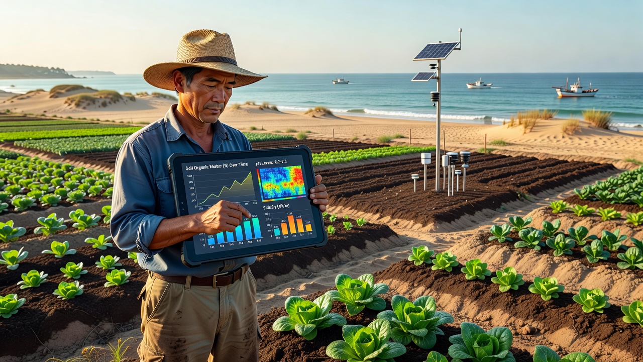
Coastal farming communities have turned to digital platforms to monitor shifts in soil composition driven by saltwater intrusion, erosion patterns, and variable precipitation cycles. These tools aggregate sensor data, satellite imagery, and on-site sampling records into unified interfaces that farmers and researchers access through mobile applications and web portals. Data streams update continuously, allowing communities from the Gulf Coast to the Pacific Northwest to compare baseline measurements against current readings without relying solely on annual lab reports.
Platform Architecture and Data Integration
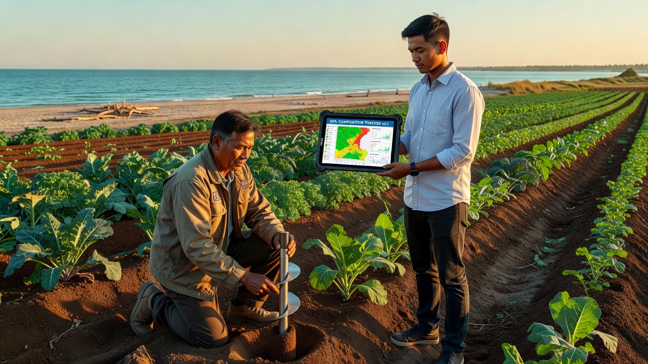
Modern systems combine IoT soil probes with cloud-based analytics engines that process electrical conductivity, pH levels, and organic carbon percentages. Farmers in regions such as the Chesapeake Bay watershed upload handheld spectrometer results directly into shared dashboards, while automated drones capture multispectral images every two weeks during the growing season. The resulting datasets merge with historical records maintained by state agricultural departments, creating layered visualizations that highlight gradual changes in sodium content or micronutrient depletion over multiple seasons.
Integration protocols follow standards developed by the Food and Agriculture Organization, ensuring compatibility across different hardware manufacturers and regional networks. In October 2026, several pilot programs expanded these protocols to include predictive modeling modules that forecast salinity creep based on tidal data and groundwater withdrawal rates. Communities using the updated modules reported faster identification of at-risk fields before visible crop stress appeared.
Regional Monitoring Efforts
Along the Atlantic seaboard, digital platforms have documented measurable increases in soil electrical conductivity within 500 meters of tidal creeks since 2022. Researchers at land-grant universities cross-reference these readings with NOAA coastal inundation maps to isolate the effects of storm surge events from routine irrigation practices. Similar initiatives in Australia’s Murray-Darling Basin employ comparable software to track boron accumulation in reclaimed estuarine soils, with weekly automated alerts sent to participating growers when thresholds approach critical levels.
One study conducted across 120 coastal plots in Louisiana revealed that digital tracking reduced the time between sample collection and actionable recommendations from 21 days to under 48 hours. The same platforms allow cooperative extension agents to overlay economic data, such as fertilizer costs, onto nutrient trend lines so producers can adjust application schedules based on both agronomic and financial variables.
Challenges in Data Accuracy and Adoption
Calibration drift in low-cost sensors remains a persistent issue, particularly in high-humidity environments where probes can accumulate salt residues on electrode surfaces. Technicians address this through scheduled recalibration routines coordinated through the same digital platforms that collect the data. Training programs run by regional cooperatives have increased the percentage of farms submitting consistent weekly readings from 34 percent in 2023 to 61 percent by mid-2026, according to figures released by the USDA Natural Resources Conservation Service.
Connectivity gaps in remote coastal zones continue to limit real-time uploads, prompting developers to incorporate offline caching features that sync automatically once devices regain signal. Privacy frameworks require explicit consent before anonymized datasets enter regional aggregates, balancing individual farm confidentiality against the need for landscape-scale trend analysis.
Future Developments and Policy Alignment
Upcoming software releases scheduled for late 2026 plan to incorporate machine-learning modules trained on multi-year datasets from both North American and European coastal zones. These additions aim to refine early-warning thresholds for heavy metal mobilization triggered by changing redox conditions in waterlogged soils. Policymakers in the European Union have referenced similar platform outputs when updating directives on agricultural adaptation to sea-level rise, citing coordinated monitoring as a prerequisite for subsidy eligibility under revised environmental programs.
Continued expansion depends on sustained funding for sensor networks and open data repositories. Observers note that communities maintaining consistent participation achieve clearer pictures of long-term soil health trajectories, while those with intermittent data streams face greater uncertainty when planning infrastructure investments such as raised-bed conversions or amended drainage systems.
Conclusion
Digital platforms have become central to systematic observation of soil composition dynamics in coastal agricultural areas. Through integrated sensor networks, standardized data protocols, and cross-regional comparisons, these tools supply the continuous records needed to detect incremental changes before they reach critical thresholds. As October 2026 data releases demonstrate, participation rates and analytical capabilities continue to rise, supporting more precise management decisions across diverse geographic and regulatory contexts.